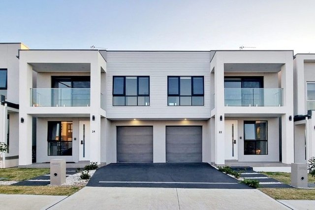
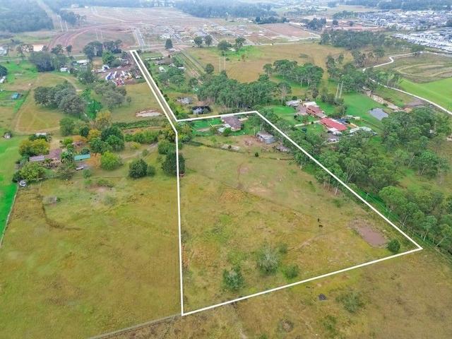
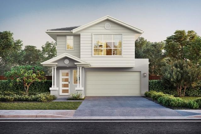
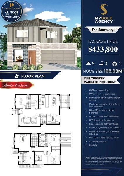
Price On Request
agency logo

147 & 148 Deleware Road, Riverstone NSW 2765

Land
Block size: 569 m² approx.

Prime investment opportunity with two lots in future development area

Lots 147 and 148 are primly positioned side by side in Riverstone in the heart of the Northwest Priority Growth Area and Riverstone Precinct. This landholding represents a fantastic opportunity to buy now for future growth. The lots are registered and zoned RU4 (Rural) with a combined frontage of 15.01m. Currently the lots are on one title and require connection to services and development prior to building. This is a fantastic opportunity for the astute investor.

- Block perfect for storage use
- 569sqm of total land
- 15.24m (Approx) total Frontage
- Depth 38m (Approx)
- 2.2km to Riverstone Station
- 2.2km to Riverstone Shops
- 6.1km to Sydney Business Park (Marsden Park)
- 1.3km to Australian Christian College
- 1.6km to Richard Johnson Anglican Schoo
- 3.2km to Riverstone Public School
- 3.9km to Riverstone High School
- 3.8km to Norwest Christian College

Inspections

No open inspections scheduled.

Send an enquiry

Contact John Irudayaraj to learn more about this property, request an inspection or take an online tour.

Key details

Property type:
Land
Block Size:
569 *

Other Details

McGrath Northwest & Kellyville

Maps and area information

Block information
Block size: 569 (approx)
Block Map
No block information available
Measurements are estimates only and based on data provided under licence from © PSMA Australia 2024.
Sorry, overlays are not available for this address
Need more info? We've got you covered.
A block's planning zone defines how that land can be used and what can be built on it.
A right to use a part of land owned by another person for a specific purpose. The most common forms of easements are for services, such as water, electricity or sewerage.
The value of a block of land without any buildings, landscaping, paths, or fences. This is different to the block's market value. A block's unimproved value is used to calculate rates and land tax charges.
This represents the shape of the geographical land. Closely spaced contour lines represent a steep slope. Widely spaced lines represent a gentle slope.
Enrolment areas for ACT public schools.

Property history

We couldn't find any history for this property.
See Riverstone's suburb profile

Riverstone suburb information

A little bit about who lives locally, as provided by government census data
SummaryMedian sales
Average Age
34 years
Population
8,627
Listing ID: 182388616. This listing has been viewed 3 times. It was first displayed on 20/03/2024 and last updated on 20/03/2024.
Allhomes acknowledges the Ngunnawal people, traditional custodians of the lands where Allhomes is situated. We wish to acknowledge and respect their continuing culture and the contribution they make to the life of Canberra and the region. We also acknowledge all other First Nations Peoples on whose lands we work.
"With open hearts and minds, together we grow." artwork by David Williams of Gilimbaa.