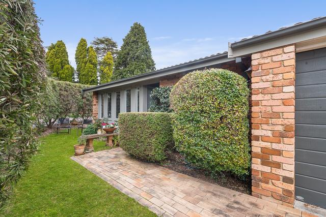
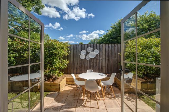
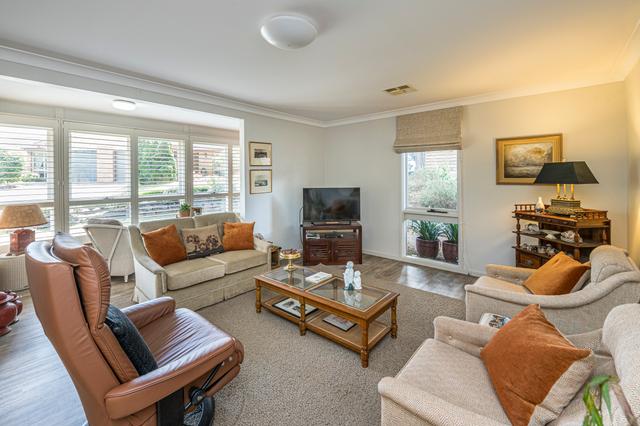
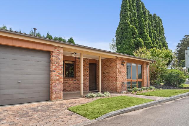
- Bowral, NSW, 2576
114 properties for sale in Bowral, NSW, 2576
View recently sold
Sort by:
10
Steven Berlyn
6
Rick Mooney
8
Gene Fairbanks & Peter Coram
17
Gene Fairbanks & Peter Coram
Added 5 hours ago
11
Damien Ogilvy & Kristy Curr
10
Jack Mooney & Rick Mooney
15
Clayton Smith & Georja Todd
7
OpenSat 20 Dec, 1:00 PM
Steven Berlyn
8
Gwenda Webb
12
Damien Ogilvy & Kristy Curr
12
OpenSat 20 Dec, 2:00 PM
Steven Berlyn
7
Gwenda Webb
11
Kristy Curr
8
Gwenda Webb
11
Damien Ogilvy & Kristy Curr
20
Damien Grace & Christopher Hilder
18
Louisa Andersen
8
Gwenda Webb
10
Jack Mooney & Rick Mooney
11
Sophie Desprez & Sam Bonkowski
22
OpenSat 20 Dec, 12:00 PM
Frank Walsh
13
Damien Ogilvy & Kristy Curr
22
Angus Campbell-Jones
13
Steven Berlyn
Added 3 days ago
7
Offer
15
Steven Hallis
11
Angus Campbell-Jones
14
Anita Roelevink
12
Anne Stone & Ash Stone
Added 7 days ago
14
Damien Ogilvy & Kristy Curr
7
Gene Fairbanks & Peter Coram
7
Anita Roelevink
14
Tim McLean
20
Matthew Anstee & Zoe Henning
20
Damien Grace & Christopher Hilder
15
Peter Williams & Liz Hughes
17
Damien Ogilvy & Kristy Curr
36
Peter Coram & Gene Fairbanks
16
OpenSat 20 Dec, 12:00 PM
Steven Berlyn
19
Anita Roelevink
17
Andy Kirk & Rick Mooney
16
OpenSat 20 Dec, 11:00 AM
Anne Stone & Brittany Kelly
13
Damien Ogilvy & Kristy Curr
8
Matthew Anstee & Team Anstee
10
Matthew Anstee & Team Anstee
5
Matthew Anstee & Team Anstee
17
Matthew Anstee & Team Anstee
17
Gwenda Webb
12
OpenSat 20 Dec, 11:30 AM
Kate Johnson
11
Tim McLean

Looking for recently sold properties?
Get notified when new properties matching your search criteria are listed on Allhomes
- © 2025, CoStar Group Inc.

Allhomes acknowledges the Ngunnawal people, traditional custodians of the lands where Allhomes is situated. We wish to acknowledge and respect their continuing culture and the contribution they make to the life of Canberra and the region. We also acknowledge all other First Nations Peoples on whose lands we work.
"With open hearts and minds, together we grow." artwork by David Williams of Gilimbaa.