- Kalgoorlie, WA, 6430
20 properties for sale in Kalgoorlie, WA, 6430
View recently sold
Sort by:
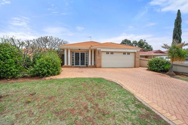
Added 4 days ago
18
Larissa Todd & Jessica Warren
New price

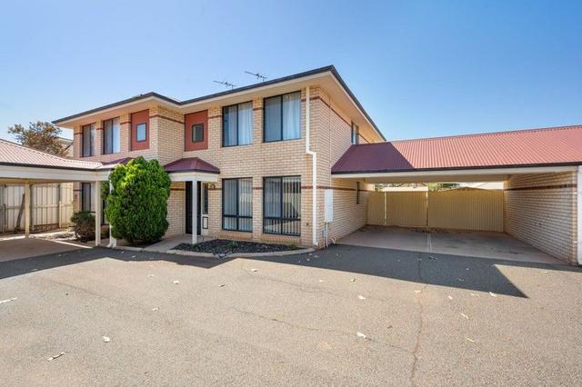
6
Jessica Warren & Larissa Todd
Offer
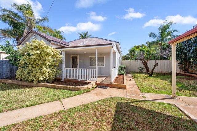
12
Jade Toroa
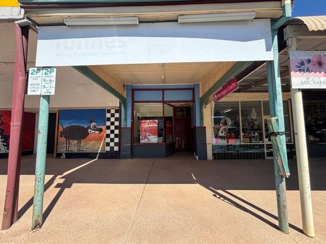
Added 2 days ago
15
OpenSat 8 Nov, 10:45 AM
Elliot Briers
Offer
12
Shelby Cody
2
Norm Sharp
Offer
24
Iris Haynes
10
OpenSun 9 Nov, 1:00 PM
Larissa Todd & Jessica Warren
Offer
10
Martina Robinson
Offer
13
Elliot Briers
Offer
14
Nickie Pettifor
Offer

1
Shack Evans & Iris Haynes
Offer
15
Matt Carter
Offer
20
Robert Gilmore
Added 3 days ago
1
Iris Haynes
Offer
17
Elliot Briers
Offer
26
Iris Haynes
26
Danielle Vasic
4
Jade Toroa
8
Jade Toroa

Looking for recently sold properties?
Get notified when new properties matching your search criteria are listed on Allhomes

Allhomes acknowledges the Ngunnawal people, traditional custodians of the lands where Allhomes is situated. We wish to acknowledge and respect their continuing culture and the contribution they make to the life of Canberra and the region. We also acknowledge all other First Nations Peoples on whose lands we work.
"With open hearts and minds, together we grow." artwork by David Williams of Gilimbaa.