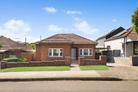
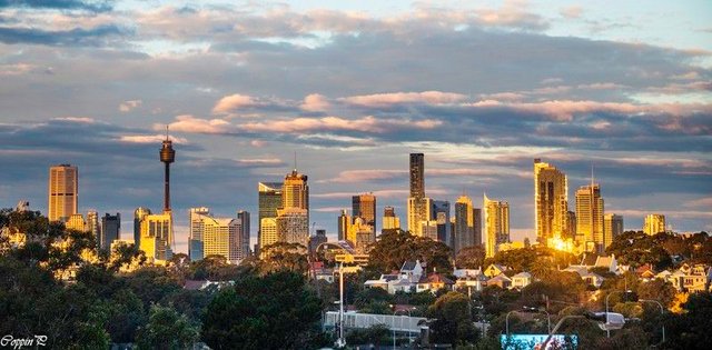
Lilyfield
Leichhardt District, NSW 2040
Median house sale price
$2,850,000
Median unit sale price
$1,717,500
Sales history in Lilyfield
View recent sales in Lilyfield to get a better understanding of local market trends.
1,914sales records
View:
Price withheld: Some prices may be withheld as requested by the parties involved in the transaction. Click to expand a sale record for additional details.
60 real estate agencies active in Lilyfield
Thinking of selling? Compare agencies with experience in Lilyfield.
AgenciesAgents
Strathfield Partners Real Estate
8 Churchill Avenue, Strathfield, NSW 2135
-
Sold
-
For sale
-
Avg. days advertised
BresicWhitney Balmain
2-8 Curtis Road , Balmain, NSW 2041
23
Sold
4
For sale
16
Avg. days advertised
Belle Property Annandale
68-70 Booth St , Annandale, NSW 2038
14
Sold
-
For sale
29
Avg. days advertised

-
Sold
-
For sale
-
Avg. days advertised
-
Sold
-
For sale
-
Avg. days advertised

11
Sold
2
For sale
22
Avg. days advertised
Lilyfield suburb information
A little bit about who lives locally, as provided by government census data.
SummaryMedian sales
Average Age
43 years
Population
7,641
Local schools for Lilyfield
View details and catchment areas for each school.
AllPrimary Schools
Government School Catchment
Independent Schools
Government School Catchment
Independent Schools
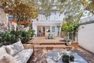
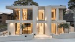
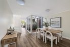
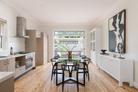
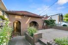
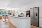
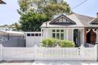
Homes for sale near Lilyfield
Find properties currently for sale near Lilyfield.
28
Jack Parry & Adrian Oddi
17
Lindi Kim Sing
19
James Price & Antony Golec
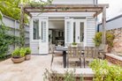
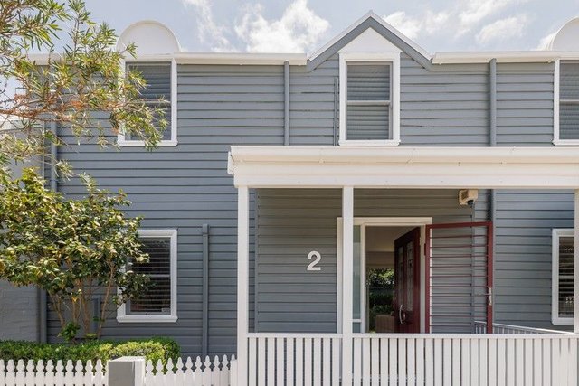
Homes for rent near Lilyfield
Find properties currently for rent near Lilyfield.
Added 7 days ago
8
Anais Adolphe & Benjamin Lovicu
5
C21 The Paramount Group Enquiry
5
Helge Pedersen & Rachel Huang
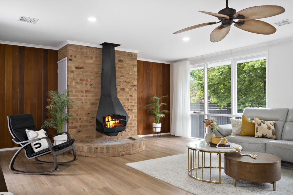
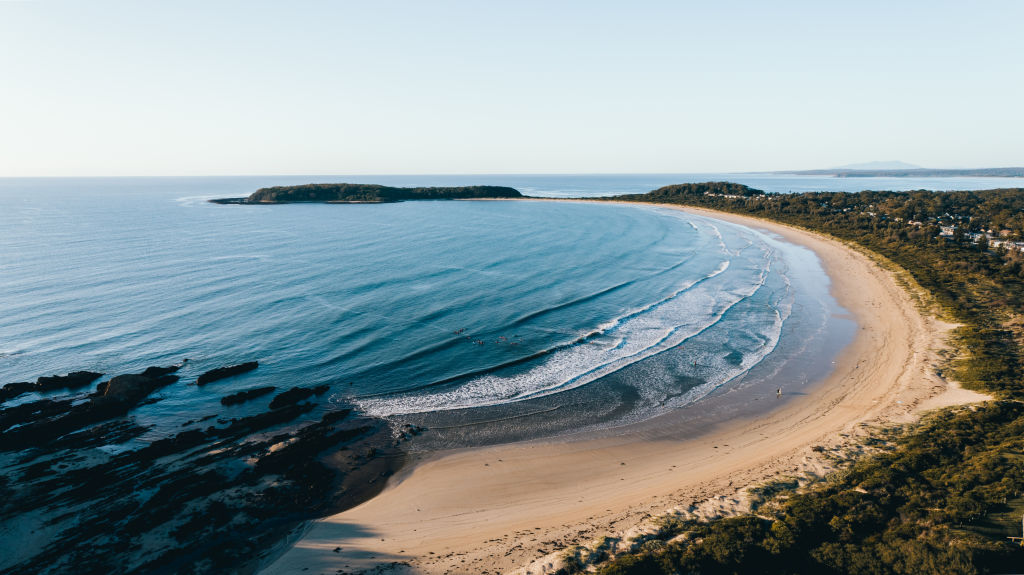
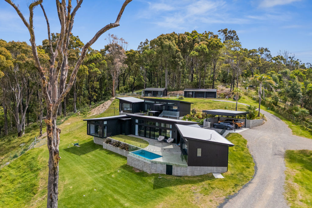
News & articles about Lilyfield

Looking to sell your home in Lilyfield?
Get a free appraisal from a local expert.
Explore suburbs near Lilyfield

Looking to sell your home in Lilyfield?
Get a free appraisal from a local expert.
States
Capital Cities
Capital Cities - Rentals
Popular Areas
Allhomes
More
- © 2026, CoStar Group Inc.

Allhomes acknowledges the Ngunnawal people, traditional custodians of the lands where Allhomes is situated. We wish to acknowledge and respect their continuing culture and the contribution they make to the life of Canberra and the region. We also acknowledge all other First Nations Peoples on whose lands we work.
"With open hearts and minds, together we grow." artwork by David Williams of Gilimbaa.