- East Cannington, WA, 6107
11 properties for sale in East Cannington, WA, 6107
View recently sold
Sort by:
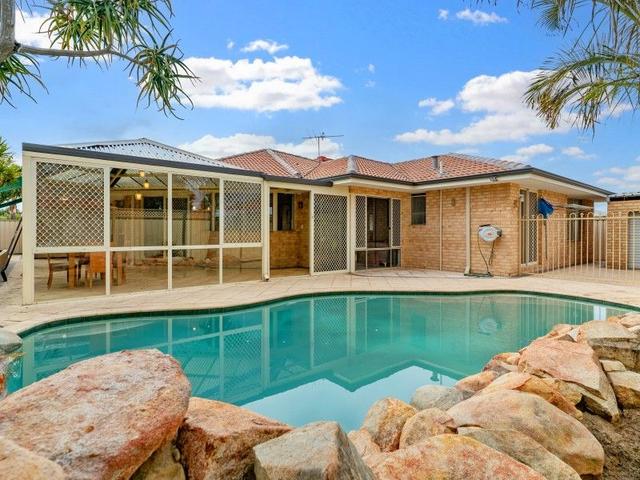
35
OpenSat 1 Nov, 1:30 PM
Cameron Smart & Eboni Freight
11
Steven Erceg
15
David Crash - Sales
Offer
25
Steven Erceg & Trent Garrett
Added recently
3
OpenSun 2 Nov, 12:30 PM
Demi Street
10
Hasi Kodagoda & Darren Khose
Added 4 days ago
24
OpenSat 1 Nov, 1:00 PM
Shagun Ahuja
11
Steven Erceg
Offer
25
Michelle Skene
Offer
31
Hasi Kodagoda & Raveen Liyanage
Offer
35
Hasi Kodagoda & Darren Khose

Looking for recently sold properties?
Get notified when new properties matching your search criteria are listed on Allhomes

Allhomes acknowledges the Ngunnawal people, traditional custodians of the lands where Allhomes is situated. We wish to acknowledge and respect their continuing culture and the contribution they make to the life of Canberra and the region. We also acknowledge all other First Nations Peoples on whose lands we work.
"With open hearts and minds, together we grow." artwork by David Williams of Gilimbaa.