- Kendenup, WA, 6323
14 properties for sale in Kendenup, WA, 6323
View recently sold
Sort by:
Offer
3
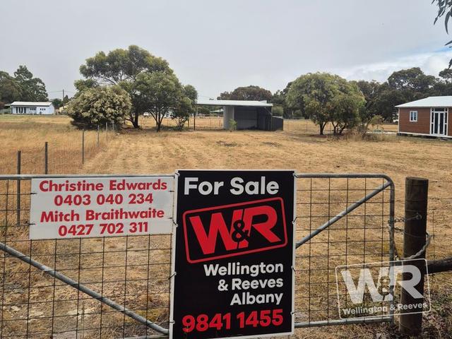
Christine Edwards & Mitchell Braithwaite
Added 3 days ago
9
Chloe Glass
Offer
21
Cassie Lamont & Kate Jefferies
Offer
21
Max Spiccia
Offer
13
Wendy Harbeck
Offer
25
Kim Crofts
32
Neels Delport
29
Samantha Pitman
32
Max Spiccia
Offer

33
Mitchell Braithwaite & Christine Edwards

1
Joe Burton & Charlene Masters
Offer

3
Joe Burton & Charlene Masters
32
Joe Burton & Charlene Masters

5
Joe Burton & Charlene Masters

Looking for recently sold properties?
Get notified when new properties matching your search criteria are listed on Allhomes
Suburbs near Kendenup
- © 2025, CoStar Group Inc.

Allhomes acknowledges the Ngunnawal people, traditional custodians of the lands where Allhomes is situated. We wish to acknowledge and respect their continuing culture and the contribution they make to the life of Canberra and the region. We also acknowledge all other First Nations Peoples on whose lands we work.
"With open hearts and minds, together we grow." artwork by David Williams of Gilimbaa.